Drone Imaging


Drone imaging revolutionized the way we can record and analyze our world from an aerial perspective. Here at Huron County Drone Services, we embrace this technology to ensure second-to-none aerial imagery and data gathering for whatever you need.
What is drone imaging?
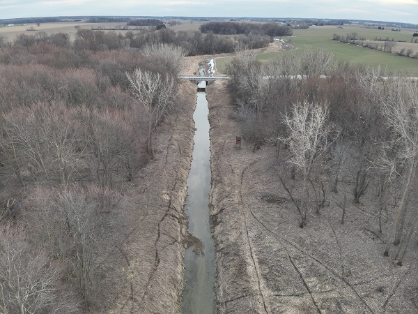
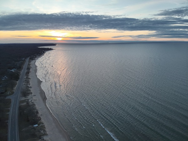
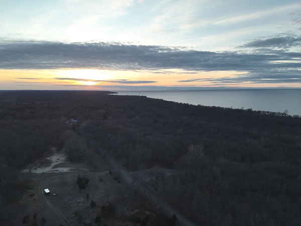
Drone imaging is a process of capturing detailed visual data from the sky with the use of unmanned aerial vehicles equipped with high-resolution cameras and sensors. This innovative approach offers several advantages over traditional methods of aerial photography, including:
- Enhanced Efficiency: Drones can cover large areas in a very short period of time and thus save time and resources[.
- Exceptional Detail: Our state-of-the-art equipment captures high-resolution images and videos for thorough inspections.
- Cost-Effective: Drone services considerably reduce expenses associated with conventional aerial surveying.
Improved Safety: It helps in reaching areas that are hard to access or dangerous without putting personnel in harm's way.
Our Comprehensive Drone Imaging Services
At Huron County Drone Services, we offer a variety of drone imaging solutions to meet all your needs. Capture stunning still images and dynamic footage for real estate, events, and marketing purposes.
Why Choose Huron County Drone Services?
Imaging with the use of drones in Huron County; we do not take a backseat to anyone, including the following:
- Experts: A team consisting of FAA-licensed pilots and specialized imagers guarantees very high-quality results.
- Cutting-edge Technology: The latest drone and camera models for ultimate data gathering.
- Tailored Solutions: Adapted our service for your project needs.
- Local Expertise: Having been part of Huron County means having a better vantage to feel its unique needs and concerns.
- Competitive Pricing: We offer affordable rates without compromising on quality.
Transform Your Projects with Aerial Insights
Whether you're a real estate developer showcasing properties, a construction manager monitoring project progress, or an environmental researcher studying land use patterns, our drone imaging services provide the visual data you need to make informed decisions and drive success.
Let us take your project to new heights, literally, with Huron County Drone Services. Take advantage of Aerial Imaging for yourself today.
Contact Us at 989-550-4937 or 989-551-3955
